
 Inglés
 Español
 Ruso
 Ucraniano
 Coreano
 Chino
Estado de la estación Valley Stream
Babylon
LONG_BEACH
LONG_BEACH
5 min
FAR_ROCKAWAY
FAR_ROCKAWAY
6 min
LONG_BEACH
LONG_BEACH
33 min
FAR_ROCKAWAY
FAR_ROCKAWAY
59 min
LONG_BEACH
LONG_BEACH
69 min
FAR_ROCKAWAY
FAR_ROCKAWAY
83 min
LONG_BEACH
LONG_BEACH
90 min
FAR_ROCKAWAY
FAR_ROCKAWAY
112 min
LONG_BEACH
LONG_BEACH
115 min
Grand Central
LONG_BEACH
PENN_STATION
22 min
FAR_ROCKAWAY
GRAND_CENTRAL
33 min
LONG_BEACH
PENN_STATION
52 min
FAR_ROCKAWAY
PENN_STATION
63 min
LONG_BEACH
GRAND_CENTRAL
82 min
Todas las líneas


Información y estado de la estación
¿Qué trenes paran aquí?
La estación Valley Stream la cubren los trenes BABYLON FAR_ROCKAWAY LONG_BEACH. Horarios en vivo y alertas en AP Transit.
¿La estación Valley Stream es accesible en silla de ruedas (ADA)?
Sí, Valley Stream es totalmente accesible. Hay ascensores.
¿A dónde puedo ir desde Valley Stream?
Desde Valley Stream el metro hacia el norte va hacia Babylon y hacia el sur hacia Grand Central.
¿Hay WiFi en Valley Stream?
Por ahora no hay WiFi en la estación Valley Stream.
Valley Stream
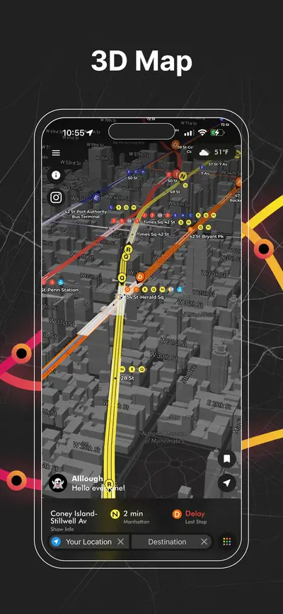
pulse para abrir nuestro mapa 3D
pulse para abrir nuestro mapa 3D
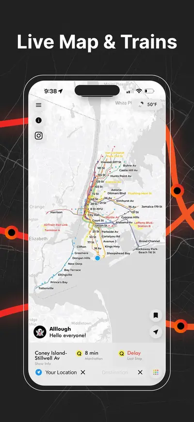
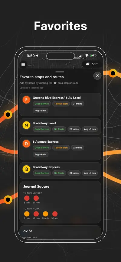
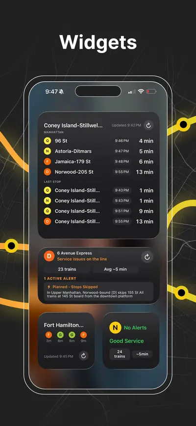
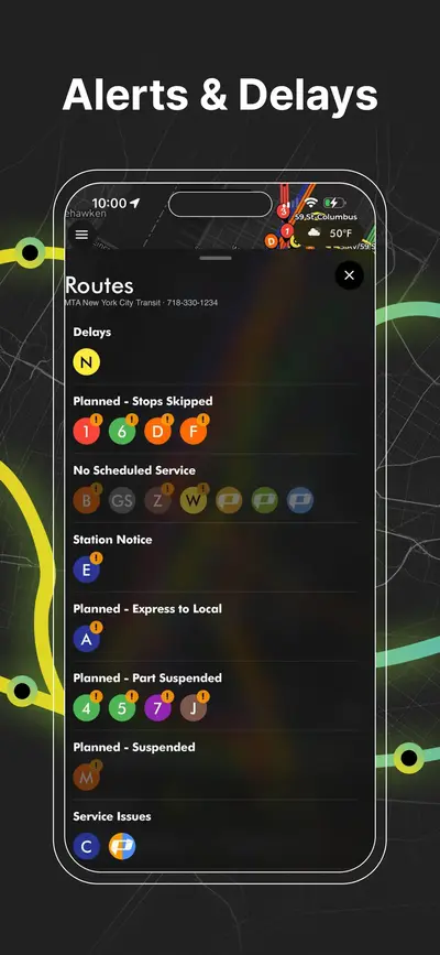
AP Transit
Descargar App
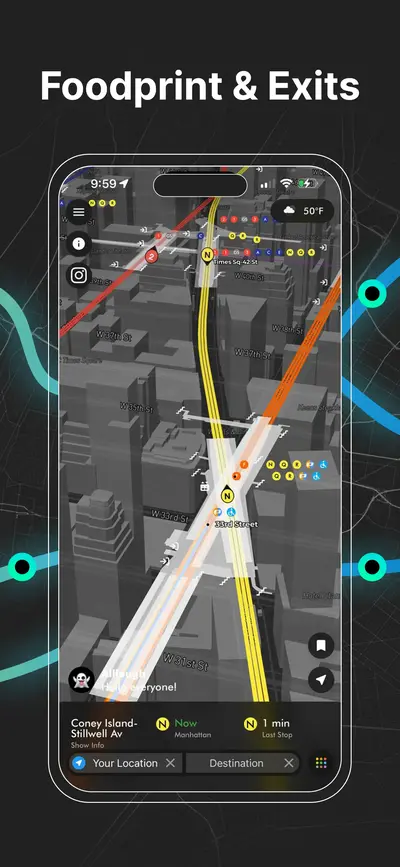
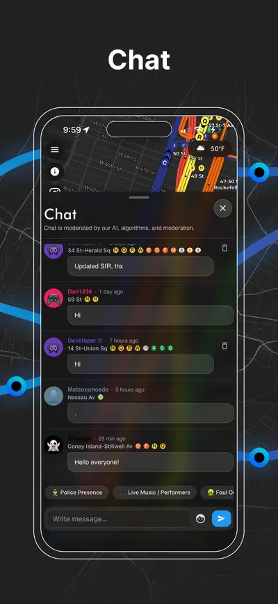
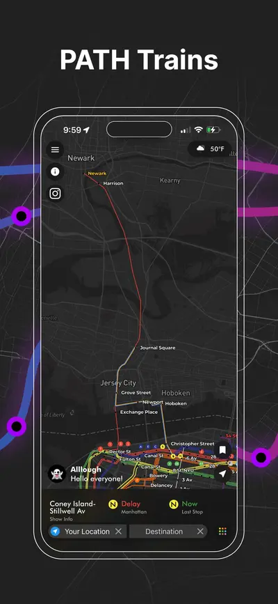
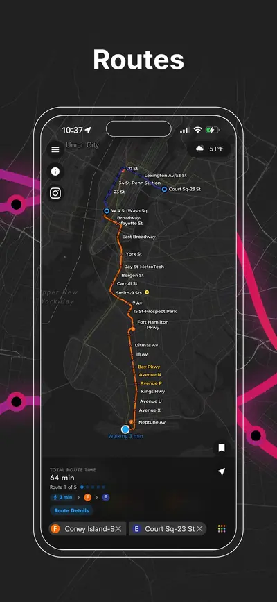
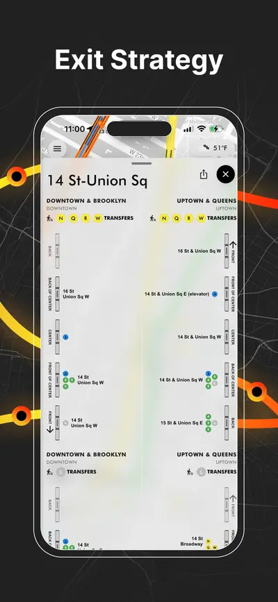
Metro de NYC en tiempo real, PATH, JFK AirTrain, planificación de rutas, salidas de estaciones, guía de transbordos y alertas de servicio en un solo mapa.

