
 English
 Spanish
 Russian
 Ukrainian
 Korean
 Chinese
72 St Station Status
Uptown & The Bronx
Downtown & Brooklyn
All Lines


Bus stops near 72 St
Station Information & Status
What trains stop here?
The 72 St station is served by the B C trains. Check real-time arrival times and service alerts on AP Transit.
Is 72 St station wheelchair accessible (ADA)?
No, 72 St is not currently wheelchair accessible. Please check nearby accessible stations on the AP Transit map.
Where can I travel to from 72 St?
Subway service from 72 St operates North towards Uptown & The Bronx and South towards Downtown & Brooklyn.
Is there WiFi at 72 St?
Yes, WiFi and cell service are available at 72 St station.
Which buses stop near 72 St?
Within a short walk of 72 St there are 4 bus stops, served by 2 routes in total: W 72 St/Central Park West (M72, 70 m); Central Park West/W 70 St (M10, M72, 100 m); Central Park West/W 72 St (M10, 120 m); Central Park West/W 69 St (M10, M72, 130 m). Each stop page shows how many minutes and how many stops away the next bus is.
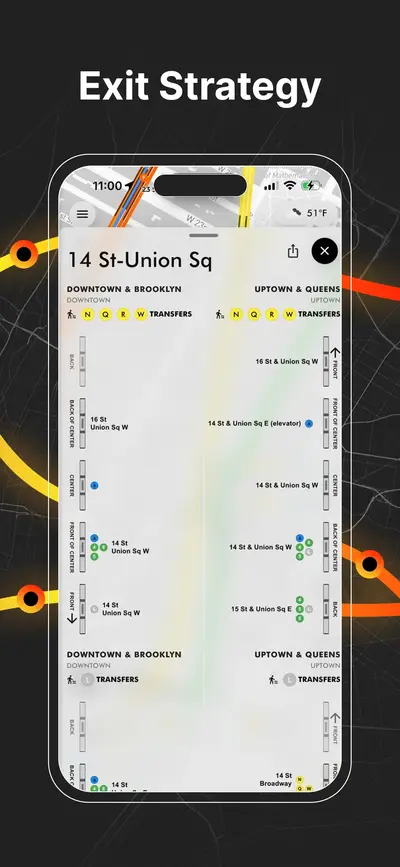
🚇 Smart Boarding Uptown & The Bronx
Best train sections to board for Uptown & The Bronx.
Which section for exits?
For 72 St / Central Park West board at the Front, Front of center.
For 70 St / Central Park West board at the Back of center, Back
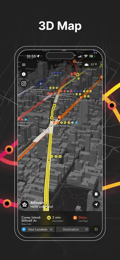
click to open our 3D Map
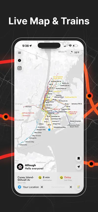
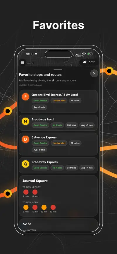
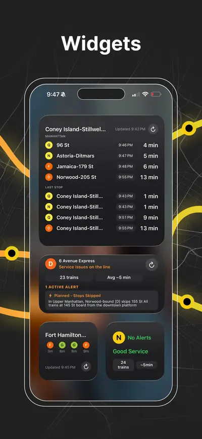
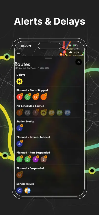
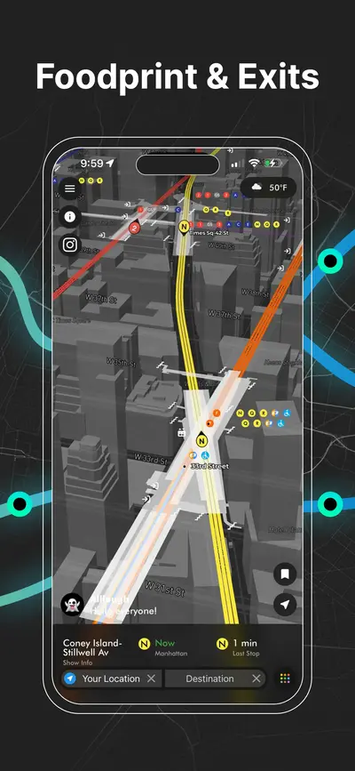
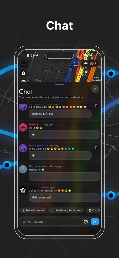
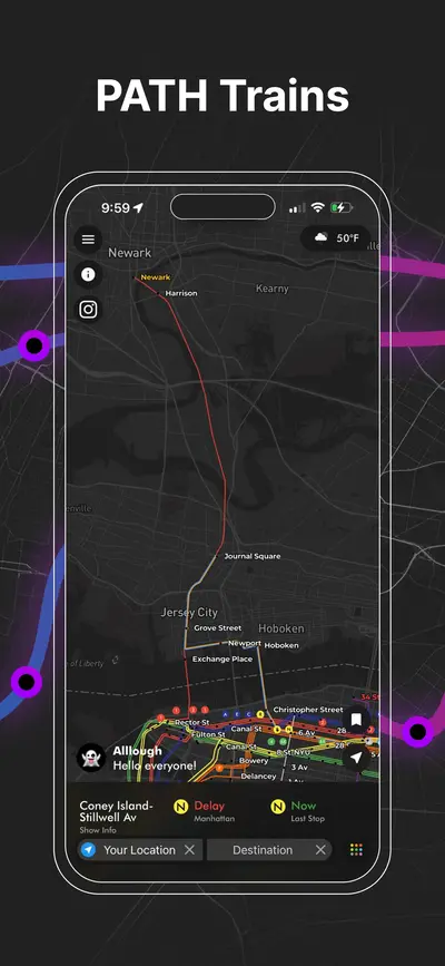
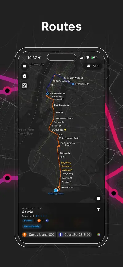
Download App
Real-time NYC subway, PATH, JFK AirTrain, route planning, station exits, transfer guidance, and service alerts in one map.

