AP Transit Logo


AP Transit

Fdr/E 23 St

Fdr/E 23 St is a New York City bus stop on Fdr at the corner of E 23 St, served by SIM31. Times below come from the MTA Bus Time feed and show how far away each bus still is.
schedule No bus is being tracked toward this stop right now, and there is no scheduled departure in the next two hours.

Service alerts at this stop

  • notifications
    Expect Delays
    Nov 18, 19, and 24, Wed, Thu, and Tue

    Bus service in Midtown may be delayed because of heavy traffic. Your bus may also make an unplanned detour to keep you moving.

    You should expect additional travel time and consider using the subway or walking if possible.

    See all the Gridlock Alert dates on the NYC DOT website.

  • notifications
    Sunday Schedule
    Nov 26, Thursday

    Note: If your bus does not normally operate on a Sunday, it will not run today.

  • notifications
    Expect Delays
    Dec 2 - 4, Wed to Fri

    Bus service in Midtown may be delayed because of heavy traffic. Your bus may also make an unplanned detour to keep you moving.

    You should expect additional travel time and consider using the subway or walking if possible.

    See all the Gridlock Alert dates on the NYC DOT website.

  • notifications
    Expect Delays
    Dec 8 - 11, Tue to Fri

    Bus service in Midtown may be delayed because of heavy traffic. Your bus may also make an unplanned detour to keep you moving.

    You should expect additional travel time and consider using the subway or walking if possible.

    See all the Gridlock Alert dates on the NYC DOT website.

  • notifications
    Expect Delays
    Dec 15 - 18 and Dec 23, Tue to Fri, (Except Dec 22)

    Bus service in Midtown may be delayed because of heavy traffic. Your bus may also make an unplanned detour to keep you moving.

    You should expect additional travel time and consider using the subway or walking if possible.

    See all the Gridlock Alert dates on the NYC DOT website.

Розташування Fdr/E 23 St на карті
Fdr/E 23 St
натисніть, щоб відкрити 3D‑карту

Questions about Fdr/E 23 St

MTA bus stop · SIM31

Which buses stop at Fdr/E 23 St?

This stop is served by one route: SIM31. Open a route to see all of its stops.

When is the next bus at Fdr/E 23 St?

No bus is being tracked toward this stop at the moment. That is normal late at night and on quiet routes: the page updates itself every 30 seconds, and times appear as soon as the MTA Bus Time feed reports a vehicle.

What does "4 stops away" mean?

It is the number of stops the bus still has to make before it reaches this one, straight from MTA Bus Time. It is a better guide than minutes in traffic: a bus two stops away will be here shortly even if the estimate says five minutes.

Are these times live or from the timetable?

Live whenever a bus is being tracked on the route; those rows show how many stops away the vehicle is. When nothing is being tracked the scheduled timetable is shown instead and clearly labelled as scheduled.

Where exactly is the Fdr/E 23 St bus stop?

It stands on Fdr where it meets E 23 St. The map further down the page shows the exact corner, which matters here because the opposite side of the street is usually a separate stop with its own arrival times.

Where is this stop on the SIM31 route?

It is stop 53 of 73 on the SIM31, after Fdr Service Rd/E 16 St and before E 23 St/1 Av. Both directions of the route are listed together, so a corner usually appears twice, once for each way.

Is there a subway station near Fdr/E 23 St?
The closest one is Stuyvesant Cove (RS), about 450 m away, 6 min walk. Live train arrivals for it are on its own page.
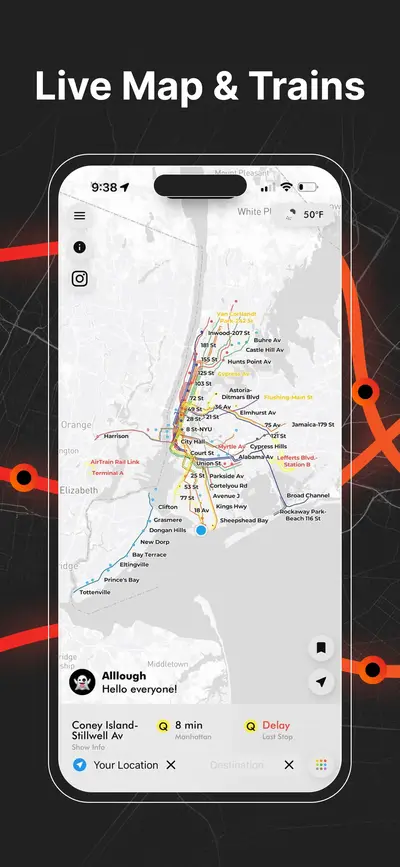
Live NYC subway map showing real-time train positions and routes across New York City
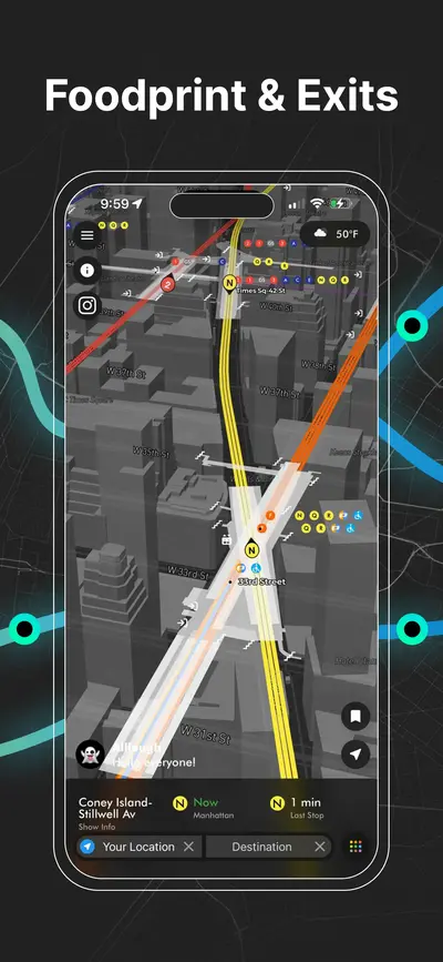
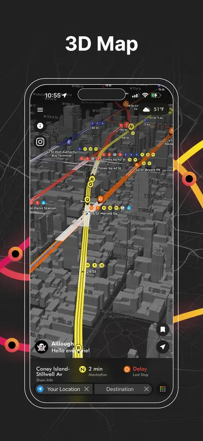
3D NYC subway map with elevated view of Manhattan streets, stations, and live train lines
NYC subway station delay board showing upcoming trains, wait times, and service status
Real-time NYC subway map displaying live moving trains and active routes
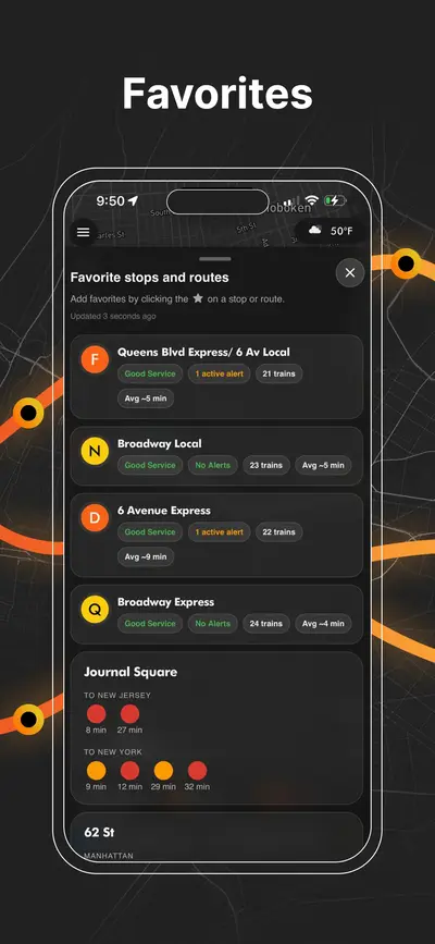
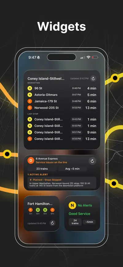
iOS home screen widgets showing upcoming NYC subway arrivals and last stop information
NYC subway transfer map for stations with connecting lines and platforms
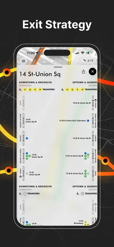
NYC subway station entrances map with line connections and exit locations
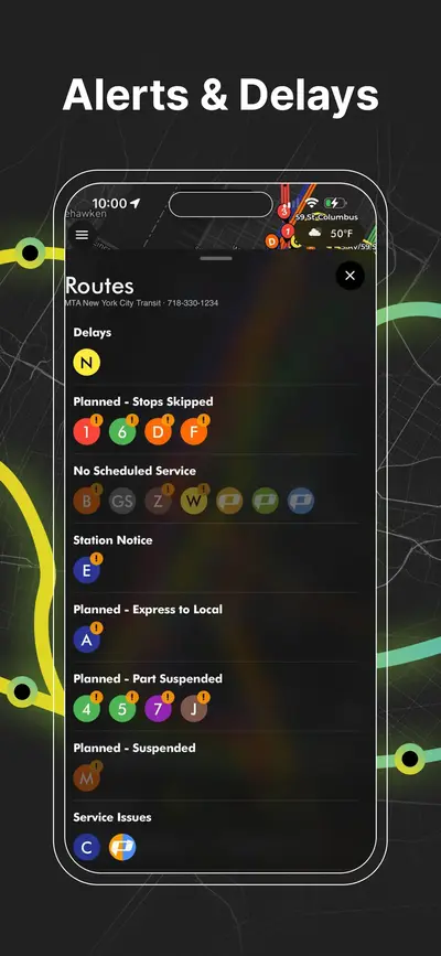
NYC subway service alerts screen showing delays, reroutes, and planned service changes
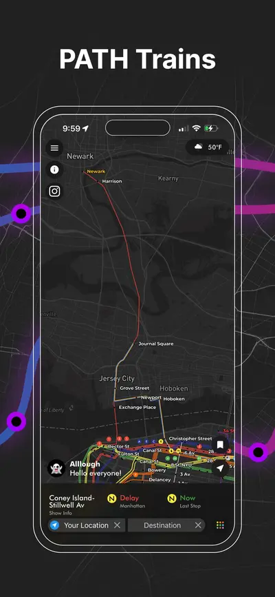
PATH train map connecting New York City and New Jersey with live route visualization
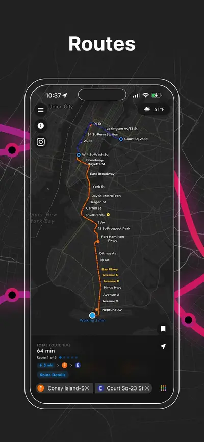
NYC subway route planner showing travel path
AP Transit

Завантажити додаток

Метро Нью-Йорка в реальному часі, PATH, JFK AirTrain, планування маршрутів, виходи зі станцій, підказки щодо пересадок і сервісні сповіщення на одній мапі.