
 English
 Spanish
 Russian
 Ukrainian
 Korean
 Chinese
Austin St /Mowbray Dr
 App Store
 Google Play
Rows marked Scheduled departure come from the timetable: no vehicle on that route is being tracked toward this stop yet.
Service alerts at this stop
-
For northbound service, use the stops on Lefferts Blvd/Linden Blvd or Liberty Ave.
Buses operate via 111th St. See map
What's happening?
FDNY Block Party
Note: Bus arrival information may not be available/accurate while buses are detoured
-
notificationsSpecial Notice
For Kew Gardens Rd/80th Rd, use nearby Queens Blvd/80th Rd, or take the Q80.
For Austin St/Mowbray Dr, take the Q80.
What's happening?
Route adjustment
Note: Bus arrival information may not be accurate or available while buses are rerouted.
Where this stop sits
Q10
Stop 41 of 43 on the Q10
Q80
Nearest subway station
Kew Gardens
BABYLONCITY_ZONEFAR_ROCKAWAYHEMPSTEADLONG_BEACHPORT_JEFFERSONRONKONKOMAWEST_HEMPSTEAD
50 m
1 min walk
arrow_forward_ios
Stop 29 of 33 on the Q80
Austin St /Mowbray Dr
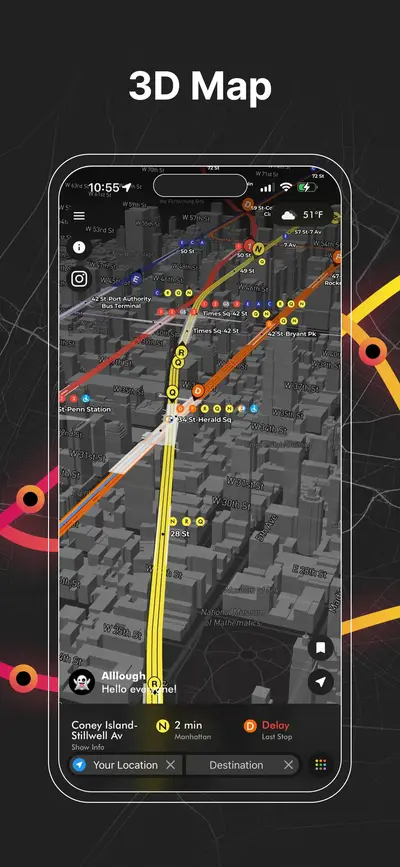
click to open our 3D Map
click to open our 3D Map
Questions about Austin St /Mowbray Dr
MTA bus stop · Q10, Q80When is the next bus at Austin St /Mowbray Dr?
The next scheduled departure is in about 11 minutes. No vehicle is being tracked yet, so this comes from the timetable, not from a live bus.
What does "4 stops away" mean?
It is the number of stops the bus still has to make before it reaches this one, straight from MTA Bus Time. It is a better guide than minutes in traffic: a bus two stops away will be here shortly even if the estimate says five minutes.
Are these times live or from the timetable?
Live whenever a bus is being tracked on the route; those rows show how many stops away the vehicle is. When nothing is being tracked the scheduled timetable is shown instead and clearly labelled as scheduled.
Where exactly is the Austin St /Mowbray Dr bus stop?
It stands on Austin St where it meets Mowbray Dr in Queens. The map further down the page shows the exact corner, which matters here because the opposite side of the street is usually a separate stop with its own arrival times.
Where is this stop on the Q10 route?
It is stop 41 of 43 on the Q10, after Lefferts Blvd/Austin St and before Kew Gardens Rd/80 Rd. Both directions of the route are listed together, so a corner usually appears twice, once for each way.
Where is this stop on the Q80 route?
It is stop 29 of 33 on the Q80, after Lefferts Blvd/Austin St and before Kew Gardens Rd /82 Rd. Both directions of the route are listed together, so a corner usually appears twice, once for each way.
Is there a subway station near Austin St /Mowbray Dr?
The closest one is Kew Gardens (BABYLON, CITY_ZONE, FAR_ROCKAWAY, HEMPSTEAD, LONG_BEACH, PORT_JEFFERSON, RONKONKOMA, WEST_HEMPSTEAD), about 50 m away, 1 min walk. Live train arrivals for it are on its own page.
AP Transit
Download App
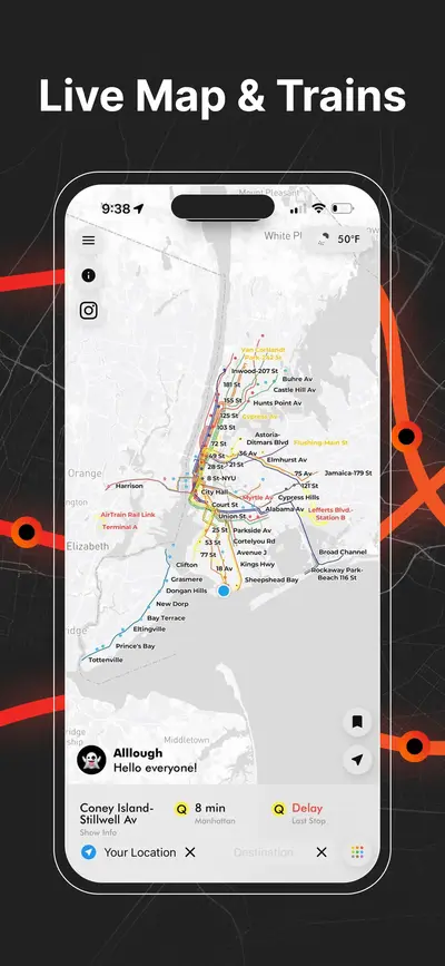
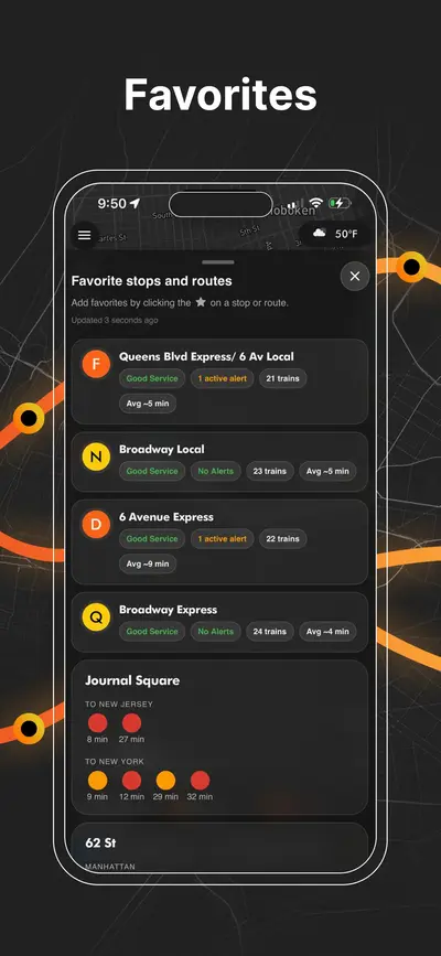
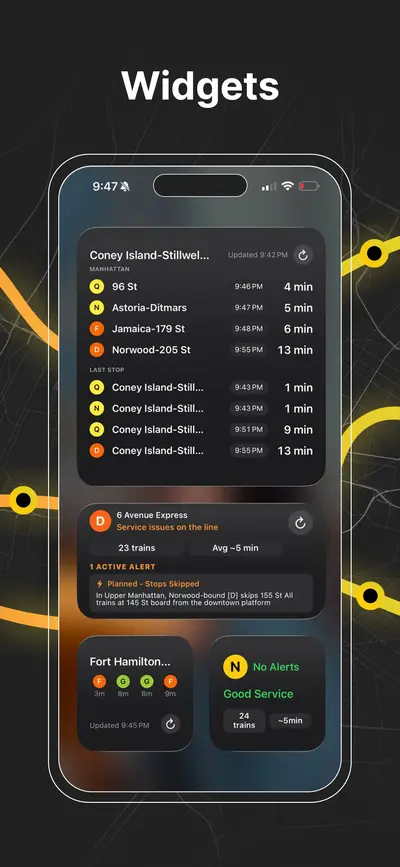
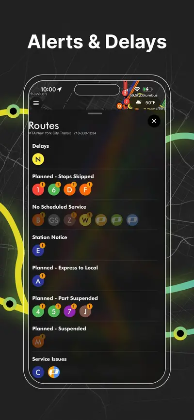
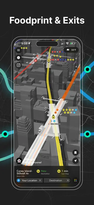
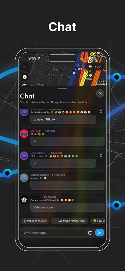
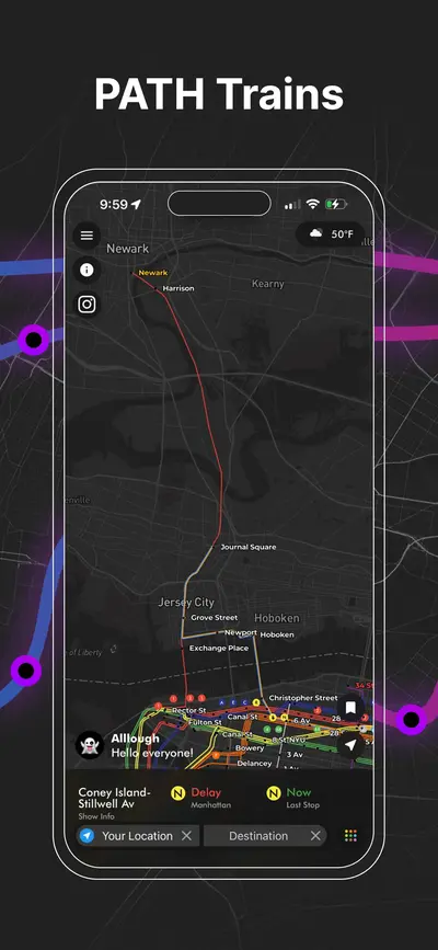
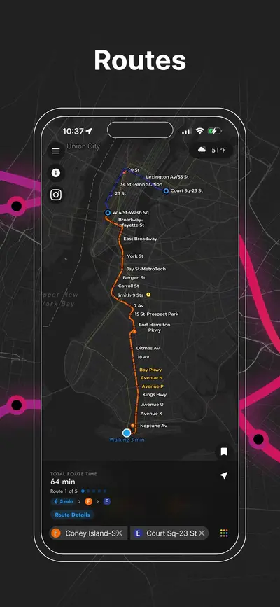
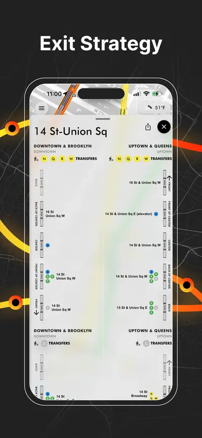
Real-time NYC subway, PATH, JFK AirTrain, route planning, station exits, transfer guidance, and service alerts in one map.