
 English
 Spanish
 Russian
 Ukrainian
 Korean
 Chinese
7 Av Service Rd South/81 St
 App Store
 Google Play
Service alerts at this stop
-
notificationsBoarding Change
What's happening?
Construction
Note: Bus arrival information may not be available/accurate while buses are detoured
-
notificationsBoarding Change
What's happening?
Operational Improvements
Note: Bus arrival information may not be available/accurate while buses are detoured
-
notificationsPlanned - Detour
Northbound, the last regular stop before the detour will be Fort Hamilton Pkwy/77th St. The first regular stop after the detour will be Fort Hamilton Pkwy/68th St.
Southbound, the last regular stop before the detour will be Fort Hamilton Pkwy/66th St. The first regular stop after the detour will be Fort Hamilton Pkwy/7th Ave.
Northbound skipped stops:
Fort Hamilton Pkwy/Bay Ridge Pkwy
Fort Hamilton Pkwy/74th St
Fort Hamilton Pkwy/72nd St
Fort Hamilton Pkwy/Bay Ridge Ave
Southbound skipped stops:
Fort Hamilton Pkwy/Bay Ridge Ave
Fort Hamilton Pkwy/73rd St
Fort Hamilton Pkwy/Bay Ridge Pkwy
What’s happening?
Note: Bus arrival information may be unavailable or inaccurate while buses are detoured.
-
notificationsPlanned - Detour
First and last stops will be made on 39th St/5th Ave, northbound side
The last northbound stop before the detour will be made on 7th Ave/Poly Prep Ent. See northbound map
The first southbound stop after the detour will be made on See southbound map
Northbound missed stops:
92nd St/7th Ave and Gatling Pl
Along Fort Hamilton Pkwy from 90th St to 77th St
Bay Ridge Pkwy/7th Ave
8th Ave/73rd St (regular to 39th St 5th Ave)
4th Ave/39th St
36th St/4th Ave and 3rd Ave
3rd Ave/37th St
39th St/3rd Ave
Southbound missed stops:
39th St/3rd Ave
2nd Ave/37th St
37th St/4th Ave
Along 39th St from 4th Ave to 7th Ave (regular from 8th Ave/40th St to 67th St)
8th Ave/Bay Ridge Ave
Along 7th Ave Service Rd from Ovington Ave to 81st St
Fort Hamilton Pkwy/83rd St and 86th St
What’s happening?
Note: Bus arrival information may be unavailable or inaccurate while buses are detoured.
-
notificationsPlanned - Part Suspended
Buses operate in two sections:
1. Between Lefferts Gardens and Fort Hamilton Pkwy at 86th St. (north section)
2. Shuttle bus between 86th St at 3rd Ave and Shore Rd at 4th Ave (south section)
1. The first and last stop for the north section is on Fort Hamilton Pkwy at 86th St.
Southbound buses detour and make requested stops along 10th Ave from Bay Ridge Ave to 86th St. The last southbound stop before the detour is on Fort Hamilton Pkwy at Bay Ridge Ave.
2. The first and last stop for the south section is on 86th St at 3rd Ave. (shuttle bus)
Southbound missed stops:
Along Fort Hamilton Pkwy from Bay Ridge Ave to 7th Ave
7th Ave Service Rd South at 79th St and 81st St
Fort Hamilton Pkwy at 83rd St
Along 86th St from Fort Hamilton Pkwy to 3rd Ave
Northbound missed stops:
86th St at 4th Ave and 5th Ave
What’s happening?
Note: Bus arrival information may be unavailable or inaccurate while buses are detoured.
Where this stop sits
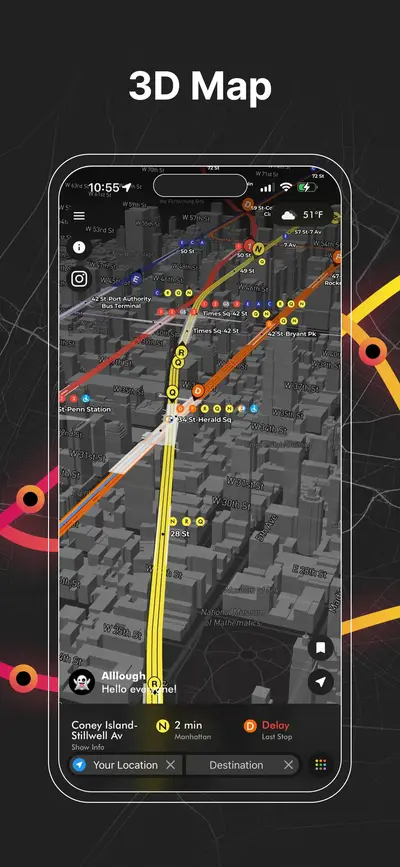
click to open our 3D Map
Questions about 7 Av Service Rd South/81 St
MTA bus stop · B16, B70When is the next bus at 7 Av Service Rd South/81 St?
What does "4 stops away" mean?
Are these times live or from the timetable?
Where exactly is the 7 Av Service Rd South/81 St bus stop?
Where is this stop on the B16 route?
Where is this stop on the B70 route?
Is there a subway station near 7 Av Service Rd South/81 St?
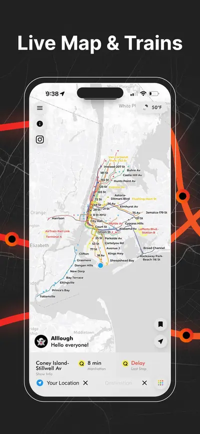
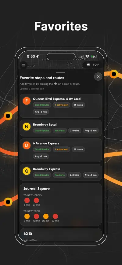
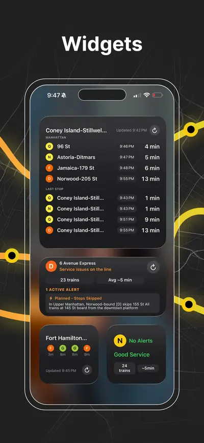
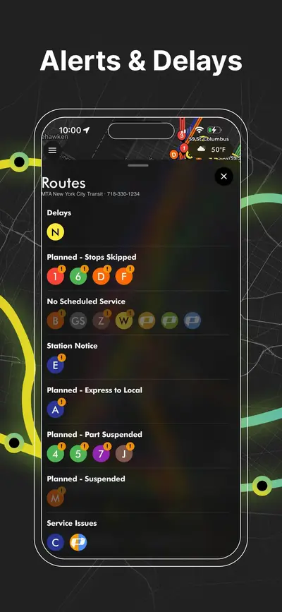
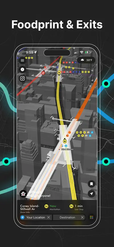
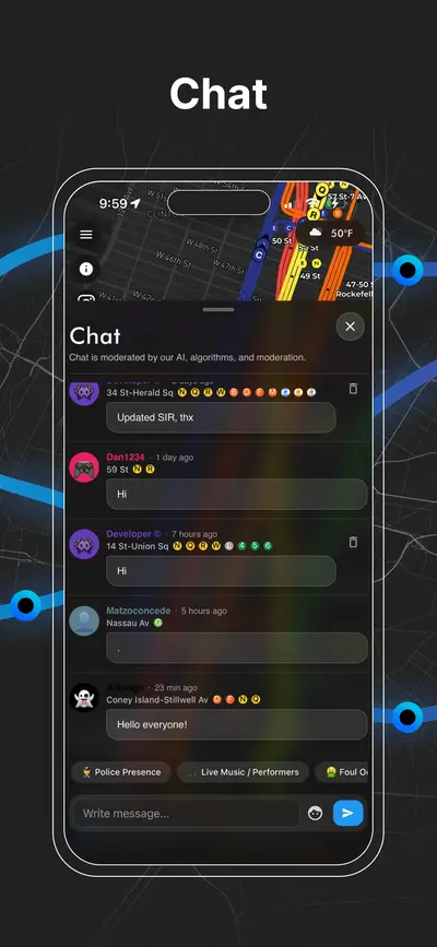
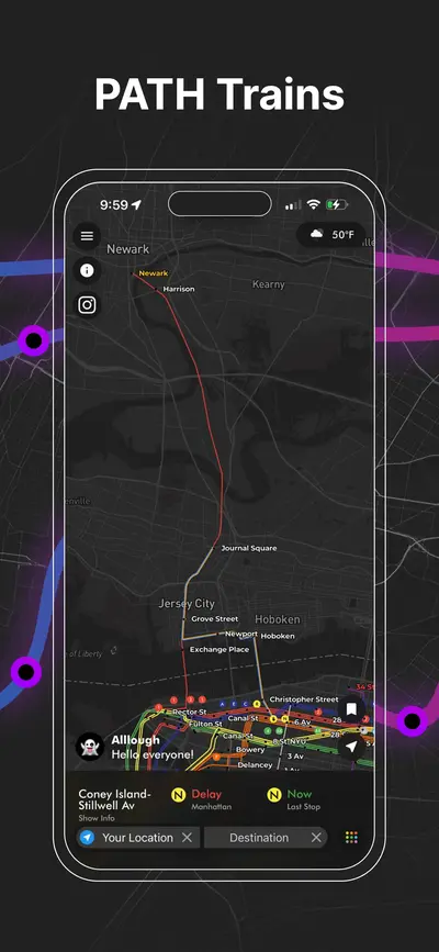
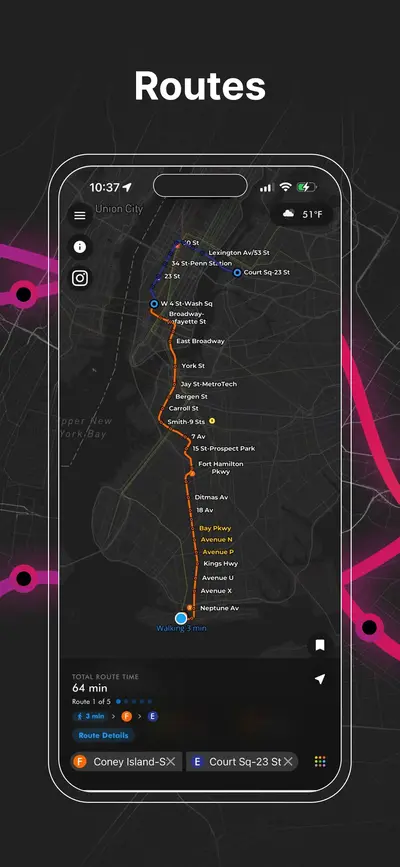
Download App
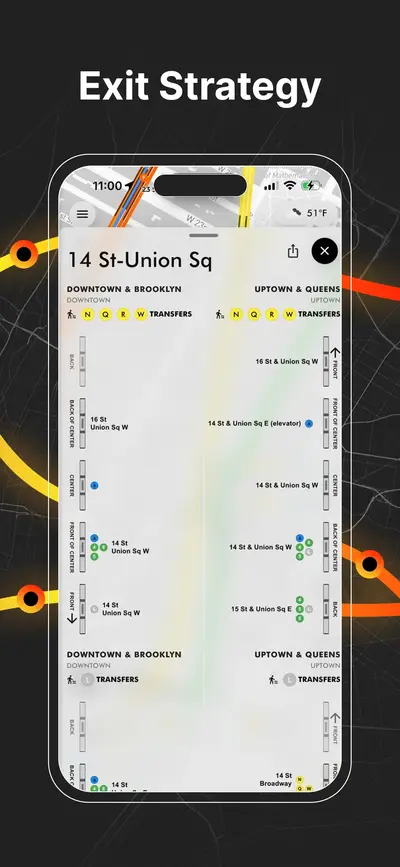
Real-time NYC subway, PATH, JFK AirTrain, route planning, station exits, transfer guidance, and service alerts in one map.