영어
 스페인어
 러시아어
 우크라이나어
 한국어
 중국어
 앱 스토어
 구글 플레이
Service alerts at this stop
-
notificationsBoarding Change
For service, use the stops on Hylan Blvd at Jefferson Ave or Hamden Ave.
See a map of this change.
What's happening?
Bus Stop Closure
Note: Bus arrival information may not be accurate or available while buses are detoured.
-
Note: If your bus does not normally operate on a Sunday, it will not run today.
-
Plan your trip: Use our official app or visit mta.info
-
Plan your trip: Use our official app or visit mta.info
Note: Some limited-stop service is not running; take local buses instead.
Where this stop sits
S51
Stop 19 of 107 on the S51
S76
Stop 57 of 143 on the S76
S78
Stop 149 of 244 on the S78
S81
Nearest subway station
Jefferson Av
SIRSISS
740 m
9 min walk
arrow_forward_ios
Stop 12 of 35 on the S81
Midland Av/Boundary Av
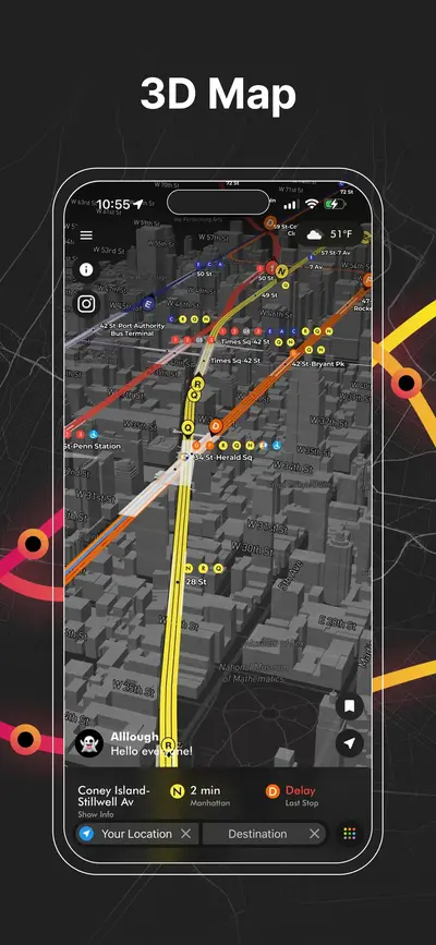
탭하여 3D 지도 열기
탭하여 3D 지도 열기
Questions about Midland Av/Boundary Av
MTA bus stop · S51, S76, S78, S81When is the next bus at Midland Av/Boundary Av?
The next bus is about 2 minutes away. Every row above shows the destination and how many stops the bus still has to go.
What does "4 stops away" mean?
It is the number of stops the bus still has to make before it reaches this one, straight from MTA Bus Time. It is a better guide than minutes in traffic: a bus two stops away will be here shortly even if the estimate says five minutes.
Are these times live or from the timetable?
Live whenever a bus is being tracked on the route; those rows show how many stops away the vehicle is. When nothing is being tracked the scheduled timetable is shown instead and clearly labelled as scheduled.
Where exactly is the Midland Av/Boundary Av bus stop?
It stands on Midland Av where it meets Boundary Av in Staten Island. The map further down the page shows the exact corner, which matters here because the opposite side of the street is usually a separate stop with its own arrival times.
Where is this stop on the S51 route?
It is stop 19 of 107 on the S51, after Lincoln Av/Grant Pl and before Midland Av/Hylan Blvd. Both directions of the route are listed together, so a corner usually appears twice, once for each way.
Where is this stop on the S76 route?
It is stop 57 of 143 on the S76, after Richmond Rd/Steele Av and before Richmond Rd/Altamont St. Both directions of the route are listed together, so a corner usually appears twice, once for each way.
Where is this stop on the S78 route?
It is stop 149 of 244 on the S78, after Hylan Blvd/Hamden Av and before Hylan Blvd/Hamden Av. Both directions of the route are listed together, so a corner usually appears twice, once for each way.
Where is this stop on the S81 route?
It is stop 12 of 35 on the S81, after Lincoln Av/Grant Pl and before Hylan Blvd/Midland Av. Both directions of the route are listed together, so a corner usually appears twice, once for each way.
Is there a subway station near Midland Av/Boundary Av?
The closest one is Jefferson Av (SIR, SI, SS), about 740 m away, 9 min walk. Live train arrivals for it are on its own page.