AP Transit Logo


AP Transit

Co-Op City Blvd/Carver Loop #1

Co-Op City Blvd/Carver Loop #1 is a New York City bus stop on Co-Op City Blvd at the corner of Carver Loop #1, served by Bx23, Bx25, Bx28, Bx30, Bx38, BxM7, Q50 in the Bronx. With 7 routes calling here it doubles as a transfer point between them. Times below come from the MTA Bus Time feed and show how far away each bus still is.
Bx38 Norwood 205 St Station via Gunhill 1 stop away 11:26 AM 1 min
Bx30 Co-Op City Earhart La via Boston Rd 2 stops away 11:27 AM 2 min
Bx23 Co-Op City Loop via Sections 5-4-3-2-1 1.4 miles away 11:34 AM 9 min
BxM7 Co-Op City Dreiser Loop via Bruckner Exy 5.1 miles away 11:41 AM 16 min
Bx30 Co-Op City Earhart La via Boston Rd 2.4 miles away 11:43 AM 19 min
Bx25 Bedford Park Lehman College via Allerton Scheduled departure 11:44 AM 19 min
Bx23 Co-Op City Loop via Sections 5-4-3-2-1 3.6 miles away 11:48 AM 24 min
BxM7 Co-Op City Dreiser Loop via Bruckner Exy 14.7 miles away 12:10 PM 45 min
BxM7 Co-Op City Dreiser Loop via Bruckner Exy 17.1 miles away 12:36 PM 71 min
schedule Rows marked Scheduled departure come from the timetable: no vehicle on that route is being tracked toward this stop yet.

Service alerts at this stop

  • notifications
    Planned - Detour
    Oct 31, Saturday, 7:00 AM to 11:30 AM

    The last regular stop before the detour will be 5th Ave/E 85th St.

    The first regular stop after the detour will be 5th Ave/E 23rd St.

    Buses will make requested stops along 9th Ave.

    See the detour map

    Skipped stops:

    Stops on 5th Ave from E 72nd St to W 43rd St

    5th Ave/W 35th St (BxM9)

    5th Ave/W 34th St (BxM6, BxM7)

    What’s happening?

    Abbott Dash to the Finish 5K

    Note: Bus arrival information may be unavailable or inaccurate while buses are detoured.

  • notifications
    Planned - Detour
    Oct 31, Saturday, 7:00 AM to 11:30 AM

    The last regular stops before the detour will be:

    • E 23rd St/Madison Ave (BxM7)

    • Madison Ave/E 24th St (BxM6)

    • Madison Ave/E 25th St (BxM9)

    .The first regular stop after the detour will be Madison Ave/E 59th St.

    See the detour map

    Skipped stops:

    Madison Ave/E 35th St (BxM7)

    Madison Ave/E 36th St (BxM6, BxM9)

    Madison Ave/E 44th St

    Madison Ave/E 51st St

    What’s happening?

    Abbott Dash to the Finish 5K

    Note: Bus arrival information may be unavailable or inaccurate while buses are detoured.

  • notifications
    Planned - Detour
    Nov 1, Sunday, 8:00 AM - until event concludes

    The last regular stop before the detour will be 2nd Ave/E 121st St.

    The first regular stop after the detour will be 5th Ave/E 85th St.

    See the detour map

    Skipped stops:

    BxM7 buses will skip 5th Ave/E 96th St

    BxM11 buses will skip 5th Ave/E 98th St

    What’s happening?

    2026 NYC Marathon

    Note: Bus arrival information may be unavailable or inaccurate while buses are detoured.

地图上 Co-Op City Blvd/Carver Loop  #1 的位置
Co-Op City Blvd/Carver Loop #1
点击打开我们的三维地图

Questions about Co-Op City Blvd/Carver Loop #1

MTA bus stop · Bx23, Bx25, Bx28, Bx30, Bx38, BxM7, Q50

Which buses stop at Co-Op City Blvd/Carver Loop #1?

This stop is served by 7 routes: Bx23, Bx25, Bx28, Bx30, Bx38, BxM7, Q50. Open a route to see all of its stops.

When is the next bus at Co-Op City Blvd/Carver Loop #1?

The next bus is about 1 minutes away. Every row above shows the destination and how many stops the bus still has to go.

What does "4 stops away" mean?

It is the number of stops the bus still has to make before it reaches this one, straight from MTA Bus Time. It is a better guide than minutes in traffic: a bus two stops away will be here shortly even if the estimate says five minutes.

Are these times live or from the timetable?

Live whenever a bus is being tracked on the route; those rows show how many stops away the vehicle is. When nothing is being tracked the scheduled timetable is shown instead and clearly labelled as scheduled.

Where exactly is the Co-Op City Blvd/Carver Loop #1 bus stop?

It stands on Co-Op City Blvd where it meets Carver Loop #1 in the Bronx. The map further down the page shows the exact corner, which matters here because the opposite side of the street is usually a separate stop with its own arrival times.

Where is this stop on the Bx23 route?

It is stop 45 of 47 on the Bx23, after Baychester Av/Darrow Pl and before Co-Op City Blvd/Carver Loop 2. Both directions of the route are listed together, so a corner usually appears twice, once for each way.

Where is this stop on the Bx25 route?

It is stop 60 of 69 on the Bx25, after Bay Plaza Blvd/Bay Plaza Dr and before Bartow Av/Co-Op City Blvd. Both directions of the route are listed together, so a corner usually appears twice, once for each way.

Where is this stop on the Bx28 route?

It is stop 84 of 101 on the Bx28, after Bartow Av/Co-Op City Blvd and before Hutchinson River Pkwy/Boller Av. Both directions of the route are listed together, so a corner usually appears twice, once for each way.

Where is this stop on the Bx30 route?

It is stop 61 of 77 on the Bx30, after Bartow Av/Co-Op City Blvd and before Hutchinson River Pkwy/Boller Av. Both directions of the route are listed together, so a corner usually appears twice, once for each way.

Where is this stop on the Bx38 route?

It is stop 77 of 86 on the Bx38, after Bay Plaza Blvd/Bay Plaza Dr and before Bartow Av/Co-Op City Blvd. Both directions of the route are listed together, so a corner usually appears twice, once for each way.

Where is this stop on the BxM7 route?

It is stop 26 of 32 on the BxM7, after Bartow Av/Co-Op City Blvd and before Bartow Av/Co-Op City Blvd. Both directions of the route are listed together, so a corner usually appears twice, once for each way.

Where is this stop on the Q50 route?

It is stop 51 of 53 on the Q50, after Baychester Av/Darrow Pl and before Co-Op City Blvd/Carver Loop 2. Both directions of the route are listed together, so a corner usually appears twice, once for each way.

Is there a subway station near Co-Op City Blvd/Carver Loop #1?
The closest one is Baychester Av (5), about 1070 m away, 13 min walk. Live train arrivals for it are on its own page.
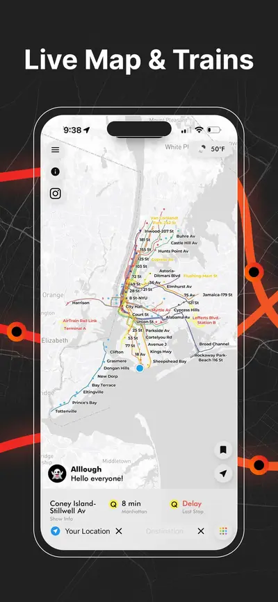
Live NYC subway map showing real-time train positions and routes across New York City
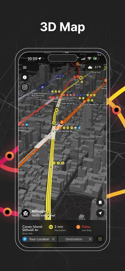
3D NYC subway map with elevated view of Manhattan streets, stations, and live train lines
NYC subway station delay board showing upcoming trains, wait times, and service status
Real-time NYC subway map displaying live moving trains and active routes
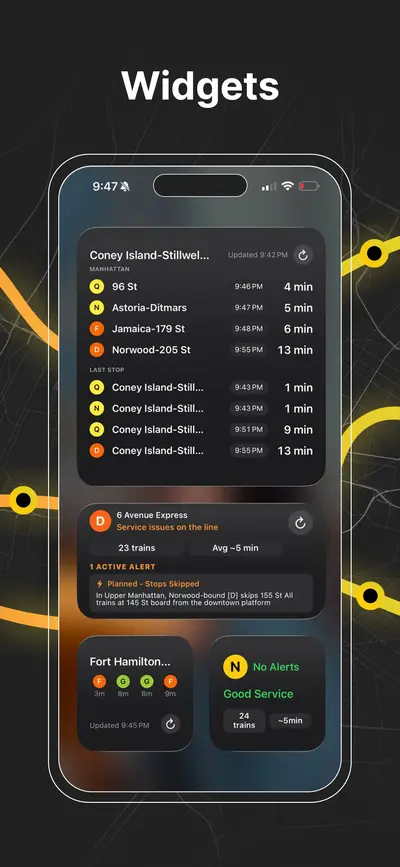
iOS home screen widgets showing upcoming NYC subway arrivals and last stop information
NYC subway transfer map for stations with connecting lines and platforms
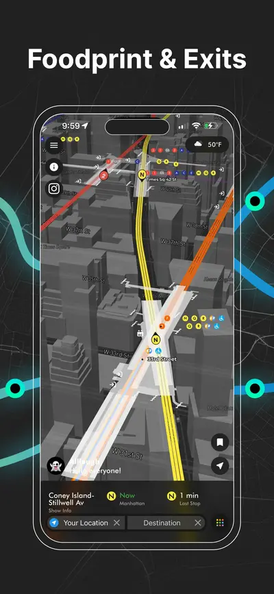
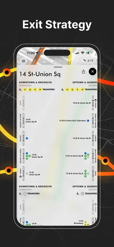
NYC subway station entrances map with line connections and exit locations
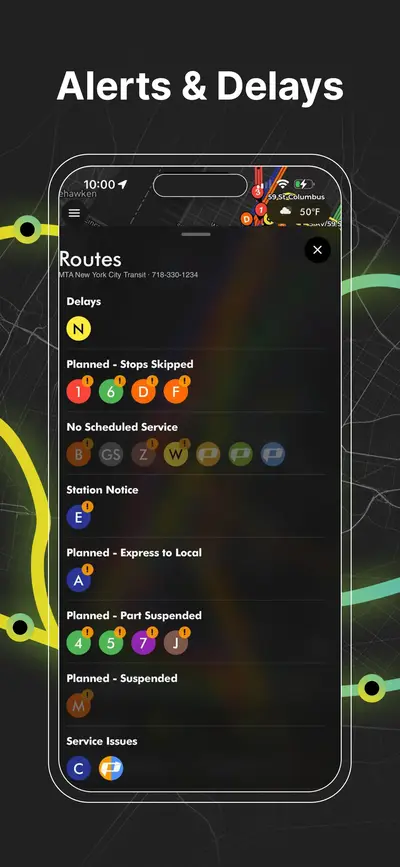
NYC subway service alerts screen showing delays, reroutes, and planned service changes
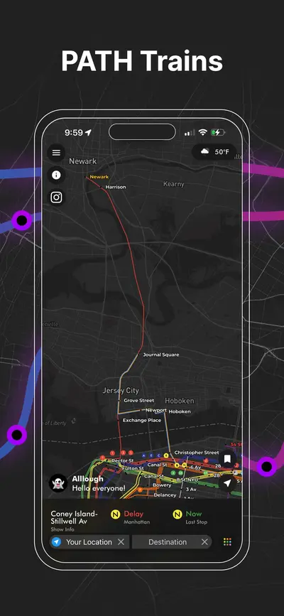
PATH train map connecting New York City and New Jersey with live route visualization
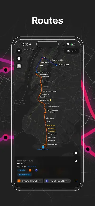
NYC subway route planner showing travel path
AP Transit

下载应用

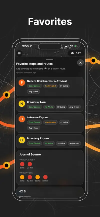
实时纽约地铁、PATH、JFK AirTrain、路线规划、车站出口、换乘指引和服务提醒,一张地图全部搞定。