
 Англійська
 Іспанська
 Російська
 Українська
 Корейська
 Китайська
QM4
Electchester - Midtown Express
 App Store
 Google Play
QM4 stops Живе оновлення
No stop on the QM4 matches that search.
6 Av/W 36 St
arrow_forward_ios
W 34 St/5 Av
arrow_forward_ios
6 Av/W 42 St
arrow_forward_ios
6 Av/W 45 St
arrow_forward_ios
E 34 St/Park Av
arrow_forward_ios
6 Av/W 48 St
arrow_forward_ios
E 34 St/3 Av
arrow_forward_ios
6 Av/W 55 St
arrow_forward_ios
E 57 St/Madison Av
arrow_forward_ios
E 57 St/3 Av
arrow_forward_ios
69 Rd/Queens Blvd
arrow_forward_ios
Jewel Av/Queens Blvd
arrow_forward_ios
69 Rd/108 St
arrow_forward_ios
Jewel Av/108 St
arrow_forward_ios
69 Rd/112 St
arrow_forward_ios
Jewel Av/112 St
arrow_forward_ios
Jewel Av/136 St
arrow_forward_ios
Jewel Av/136 St
arrow_forward_ios
Jewel Av/Main St
arrow_forward_ios
Jewel Av/Main St
arrow_forward_ios
Jewel Av/150 St
arrow_forward_ios
Jewel Av/150 St
arrow_forward_ios
Jewel Av/Kissena Blvd
arrow_forward_ios
Jewel Av/Kissena Blvd
arrow_forward_ios
Jewel Av/Parsons Blvd
arrow_forward_ios
Jewel Av/Parsons Blvd
arrow_forward_ios
Jewel Av/161 St
arrow_forward_ios
164 St/69 Av
arrow_forward_ios
164 St/Jewel Av
arrow_forward_ios
164 St/Horace Harding Expwy
arrow_forward_ios
164 St/Horace Harding Expwy
arrow_forward_ios
Service alerts on the QM4
-
notificationsPlanned - Part Suspended
The temporary first and last stop will be 6th Ave/W 35th St.
Skipped stops:
Stops on 6th Ave from W 42nd St to W 55th St
E 57th St/Madison Ave
E 57th St/3rd Ave
What’s happening?
Note: Bus arrival information may be unavailable or inaccurate while buses are detoured.
Questions about the QM4
Electchester - Midtown ExpressHow many stops does the QM4 have?
The QM4 serves 31 stops, running roughly between 6 Av/W 36 St and 164 St/Horace Harding Expwy. Both directions are listed together, so most street corners appear twice — once for each way.
Where does the QM4 run?
The QM4 is a local MTA bus route in Manhattan on an express run.
Is the QM4 running right now?
No QM4 vehicle is being reported by MTA Bus Time at the moment. That is normal overnight and on quiet routes; the page reloads every 30 seconds and times appear as soon as a bus is tracked.
How do I see when the next QM4 reaches my stop?
Tap any stop in the list. The stop page shows every route that serves it, the destination of each bus and how many stops away it still is.
Where can I see all NYC bus routes?
Every MTA bus route is listed on NYC Bus Schedule, grouped by borough. Subway lines are on NYC Subway Time.
AP Transit
Завантажити додаток
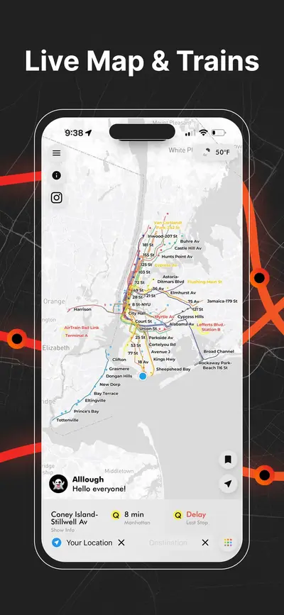
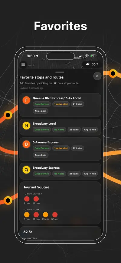
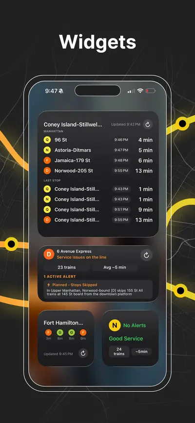
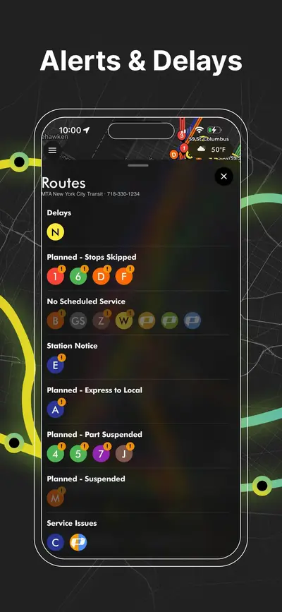
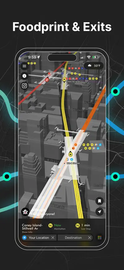
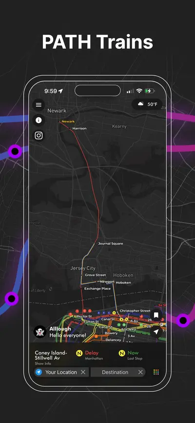
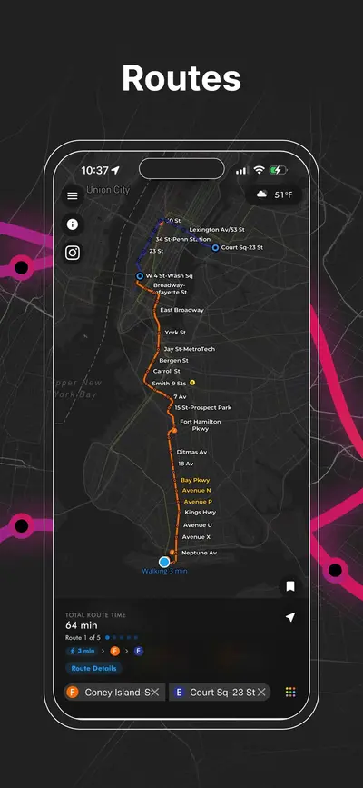
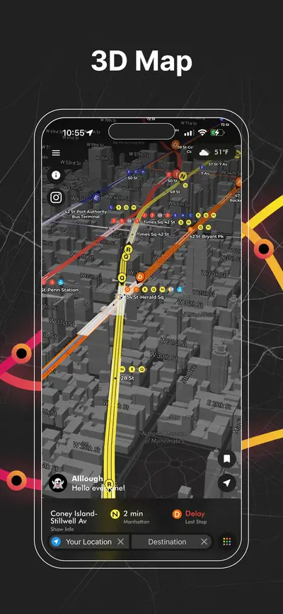
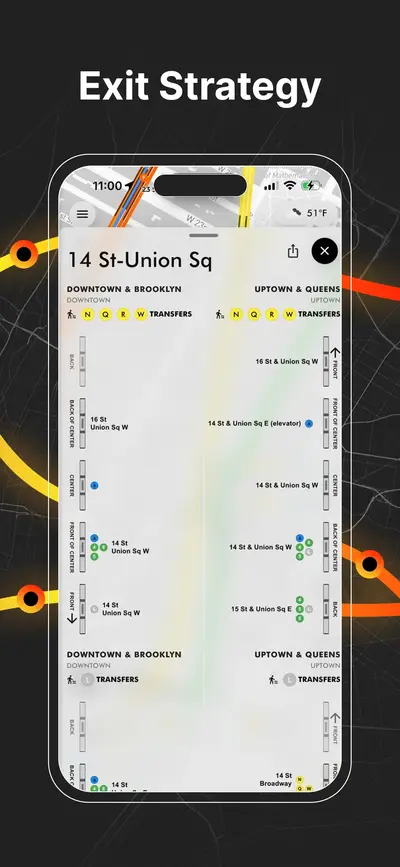
Метро Нью-Йорка в реальному часі, PATH, JFK AirTrain, планування маршрутів, виходи зі станцій, підказки щодо пересадок і сервісні сповіщення на одній мапі.