
 Английский
 Испанский
 Русский
 Украинский
 Корейский
 Китайский
Q90
Flushing - LaGuardia Airport
 App Store
 Google Play
Q90 stops Живое обновление
No stop on the Q90 matches that search.
Laguardia Airport/Terminal B
arrow_forward_ios
Lga/Terminal B
arrow_forward_ios
Ditmars Blvd/102 St
arrow_forward_ios
Ditmars Blvd/102 St
arrow_forward_ios
Laguardia Airport/Terminal C
arrow_forward_ios
Ditmars Blvd/27 Av
arrow_forward_ios
Ditmars Blvd/27 Av
arrow_forward_ios
Ditmars Blvd/31 Av
arrow_forward_ios
Ditmars Blvd/31 Dr
arrow_forward_ios
Seaver Way/35 Av
arrow_forward_ios
Seaver Way/Roosevelt Av
arrow_forward_ios
Seaver Way/Roosevelt Av
arrow_forward_ios
Roosevelt Av/College Point Blvd
arrow_forward_ios
Roosevelt Av/College Point Blvd
arrow_forward_ios
Roosevelt Av/Prince St
arrow_forward_ios
Roosevelt Av/Prince St
arrow_forward_ios
Main St/Roosevelt Av
arrow_forward_ios
Service alerts on the Q90
-
notificationsPlanned - Part Suspended
Eastbound Q90 buses will not be stopping on Roosevelt Ave from Seaver Way to Main St.
The new last stop on eastbound Q90 will be 39th Ave and Main St.The last regular stop on eastbound Q90 buses before the detour will be Ditmars Blvd/31st Dr.
Buses will operate via Northern Blvd and Main St instead.
Note: Bus arrival information may not be accurate or available while buses are detoured.
-
scheduleDelays
Нет описания
Questions about the Q90
Flushing - LaGuardia AirportHow many stops does the Q90 have?
The Q90 serves 17 stops, running roughly between Laguardia Airport/Terminal B and Main St/Roosevelt Av. Both directions are listed together, so most street corners appear twice — once for each way.
Where does the Q90 run?
The Q90 is a local MTA bus route in Queens.
Is the Q90 running right now?
Yes. Buses are being tracked toward 2 stops on the route, and the closest one is about 1 minutes away. The list refreshes itself every 30 seconds.
How do I see when the next Q90 reaches my stop?
Tap any stop in the list. The stop page shows every route that serves it, the destination of each bus and how many stops away it still is.
Where can I see all NYC bus routes?
Every MTA bus route is listed on NYC Bus Schedule, grouped by borough. Subway lines are on NYC Subway Time.
AP Transit
Скачать приложение
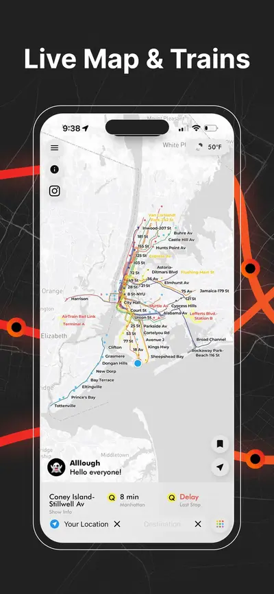
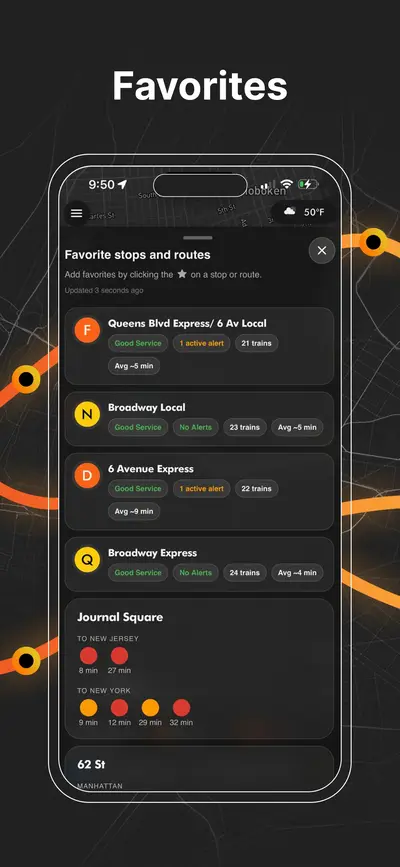
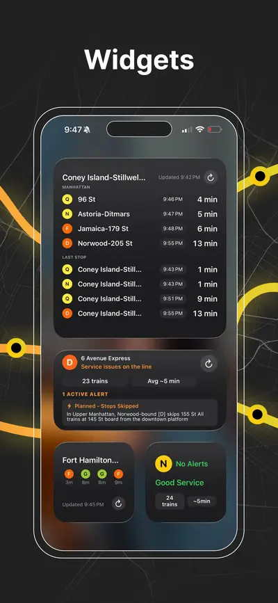
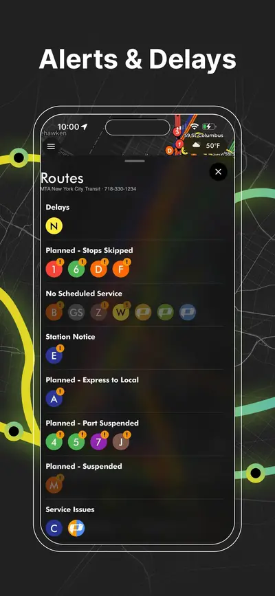
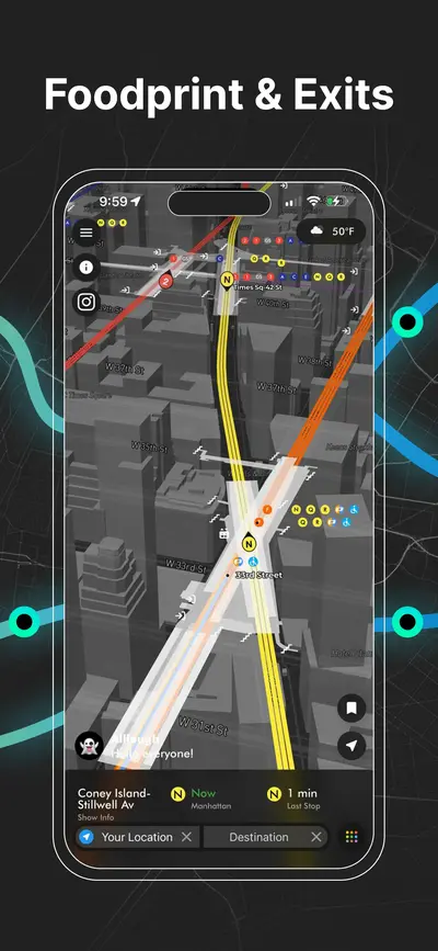
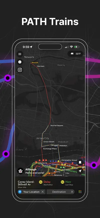
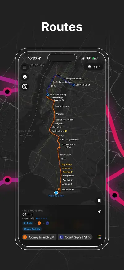
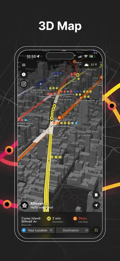
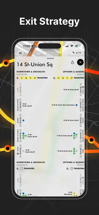
Метро Нью-Йорка в реальном времени, PATH, JFK AirTrain, построение маршрутов, выходы станций, подсказки по пересадкам и сервисные оповещения на одной карте.