AP Transit Logo


AP Transit
M55

W 44 St - South Ferry

The M55 is a local MTA bus route serving 67 stops in Manhattan. Tap any stop for its next departures.

M55 stops Живое обновление

No stop on the M55 matches that search.
State St/Whitehall St
arrow_forward_ios
State St/Whitehall St
arrow_forward_ios
State St/Bridge St
arrow_forward_ios
State St/Bridge St
arrow_forward_ios
Broadway/Morris St
arrow_forward_ios
Broadway/Rector St
arrow_forward_ios
Trinity Pl/Rector St
arrow_forward_ios
Broadway/Thames St
arrow_forward_ios
Church St/Liberty St
arrow_forward_ios
Broadway/Cortlandt St
arrow_forward_ios
Broadway/Barclay St
arrow_forward_ios
Church St/Vesey St
arrow_forward_ios
Broadway/Park Pl
arrow_forward_ios
Broadway/Chambers St
arrow_forward_ios
Church St/Warren St
arrow_forward_ios
Church St/Chambers St
arrow_forward_ios
Broadway/Duane St
arrow_forward_ios
Church St/Worth St
arrow_forward_ios
Broadway/Franklin St
arrow_forward_ios
Broadway/Walker St
arrow_forward_ios
6 Av/White St
arrow_forward_ios
Broadway/Grand St
arrow_forward_ios
6 Av/West Broadway
arrow_forward_ios
Broadway/Spring St
arrow_forward_ios
6 Av/Grand St
arrow_forward_ios
Broadway/Prince St
arrow_forward_ios
6 Av/Broome St
arrow_forward_ios
Broadway/West Houston St
arrow_forward_ios
6 Av/Spring St
arrow_forward_ios
Broadway/Bleecker St
arrow_forward_ios
6 Av/Prince St
arrow_forward_ios
Broadway/W 3 St
arrow_forward_ios
6 Av/West Houston St
arrow_forward_ios
Broadway/Waverly Pl
arrow_forward_ios
E 8 St/Mercer St
arrow_forward_ios
6 Av/W 3 St
arrow_forward_ios
E 8 St/University Pl
arrow_forward_ios
E 8 St/5 Av
arrow_forward_ios
6 Av/Waverly Pl
arrow_forward_ios
5 Av/W 10 St
arrow_forward_ios
5 Av/W 12 St
arrow_forward_ios
6 Av/W 10 St
arrow_forward_ios
5 Av/W 14 St
arrow_forward_ios
6 Av/W 12 St
arrow_forward_ios
5 Av/W 17 St
arrow_forward_ios
6 Av/W 16 St
arrow_forward_ios
5 Av/W 20 St
arrow_forward_ios
6 Av/W 18 St
arrow_forward_ios
6 Av/W 20 St
arrow_forward_ios
5 Av/W 23 St
arrow_forward_ios
6 Av/W 23 St
arrow_forward_ios
5 Av/W 26 St
arrow_forward_ios
5 Av/W 28 St
arrow_forward_ios
6 Av/W 27 St
arrow_forward_ios
5 Av/W 31 St
arrow_forward_ios
6 Av/W 29 St
arrow_forward_ios
5 Av/W 33 St
arrow_forward_ios
6 Av/W 31 St
arrow_forward_ios
5 Av/W 36 St
arrow_forward_ios
6 Av/W 34 St
arrow_forward_ios
5 Av/W 39 St
arrow_forward_ios
6 Av/W 38 St
arrow_forward_ios
5 Av/W 42 St
arrow_forward_ios
6 Av/W 40 St
arrow_forward_ios
6 Av/W 42 St
arrow_forward_ios
W 44 St/6 Av
arrow_forward_ios
W 44 St/6 Av
arrow_forward_ios

Service alerts on the M55

  • notifications
    Planned - Detour
    Oct 23 - Nov 6, 10 PM to 6 AM, nightly

    The last northbound stop before the detour will be made on 6th Ave/W 40th St.

    The first southbound stop after the detour will be made on 5th Ave/W 42nd St.

    See map

    What's happening

    Crane Operation

    Note: Bus arrival information may not be available/accurate while buses are detoured

  • notifications
    Boarding Change
    Through November 2026

    See a map of the new stop location.

    What's happening?

    Construction

  • notifications
    Planned - Part Suspended
    Aug 4 12:00 AM - Ongoing

    While detoured, northbound buses will not service the last two stops at 6th Ave/W 42nd St or W 44th St/6th Ave.

    The last stop will be 6th Ave/W 40th St.

    Southbound buses will not service the first stop at W 44th St/6th Ave.

    The first stop will be 5th Ave/W 42nd St.

    Note: Bus arrival information may be inaccurate or unavailable while buses are partially suspended.

  • notifications
    Planned - Part Suspended
    Oct 31, Saturday, 7:00 AM to 11:30 AM

    The temporary first and last stop will be 5th Ave/E 34th St.

    Northbound, the last regular stop before the detour will be 6th Ave/W 31st St.

    Southbound, the first regular stop after the detour will be 5th Ave/W 33rd St.

    See the detour map

    Northbound skipped stops:

    6th Ave/W 34th St

    6th Ave/W 38th St

    6th Ave/W 40th St

    6th Ave/W 42nd St

    W 44th St/6th Ave

    Southbound skipped stops:

    W 44th St/6th Ave

    5th Ave/W 42nd St

    5th Ave/W 39th St

    5th Ave/W 36th St

    What’s happening?

    Abbott Dash to the Finish 5K

    Note: Bus arrival information may be unavailable or inaccurate while buses are detoured.

  • notifications
    Planned - Detour
    Oct 31 - Nov 1, Sat 5:30 PM to Sun 3:00 AM

    The last regular stop before the detour will be 6th Ave/W Broadway. The first regular stop after the detour will be 6th Ave/W 29th St.

    Buses will make requested stops along Hudson St and 8th Ave.

    See the detour map

    Skipped stops:

    Stops on 6th Ave from Grand St to W 27th St

    What’s happening?

    Village Halloween Parade

    Note: Bus arrival information may be unavailable or inaccurate while buses are detoured.

Questions about the M55

W 44 St - South Ferry

How many stops does the M55 have?

The M55 serves 67 stops, running roughly between State St/Whitehall St and W 44 St/6 Av. Both directions are listed together, so most street corners appear twice — once for each way.

Where does the M55 run?

The M55 is a local MTA bus route in Manhattan.

Is the M55 running right now?

Yes. Buses are being tracked toward 17 stops on the route, and the closest one is arriving now. The list refreshes itself every 30 seconds.

How do I see when the next M55 reaches my stop?

Tap any stop in the list. The stop page shows every route that serves it, the destination of each bus and how many stops away it still is.

Where can I see all NYC bus routes?
Every MTA bus route is listed on NYC Bus Schedule, grouped by borough. Subway lines are on NYC Subway Time.
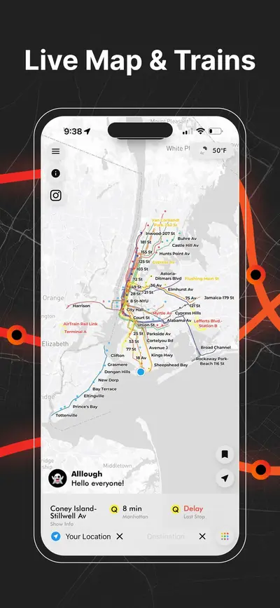
Live NYC subway map showing real-time train positions and routes across New York City
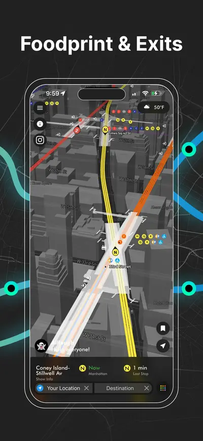
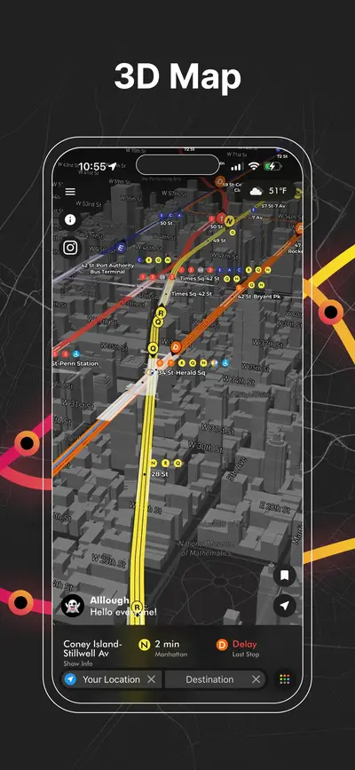
3D NYC subway map with elevated view of Manhattan streets, stations, and live train lines
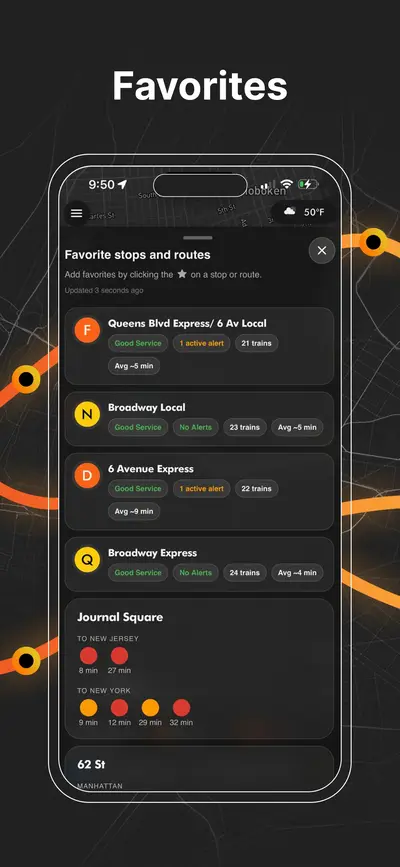
NYC subway station delay board showing upcoming trains, wait times, and service status
Real-time NYC subway map displaying live moving trains and active routes
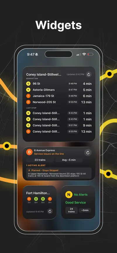
iOS home screen widgets showing upcoming NYC subway arrivals and last stop information
NYC subway transfer map for stations with connecting lines and platforms
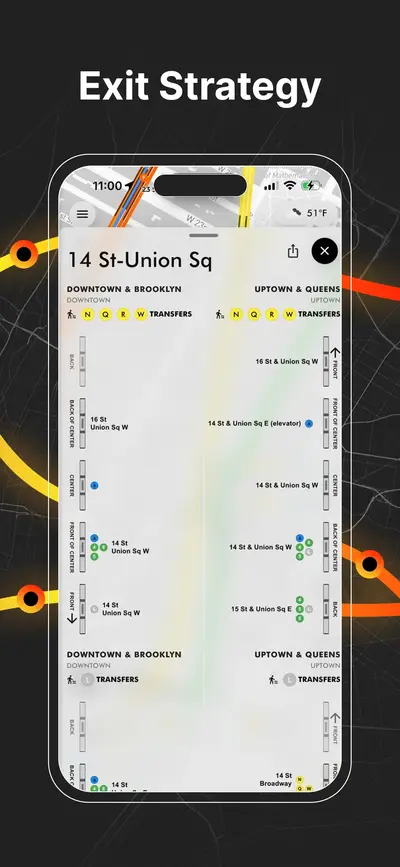
NYC subway station entrances map with line connections and exit locations
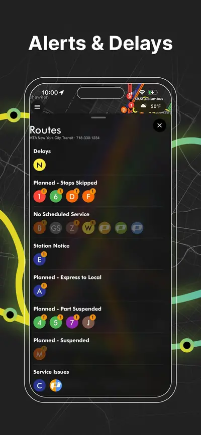
NYC subway service alerts screen showing delays, reroutes, and planned service changes
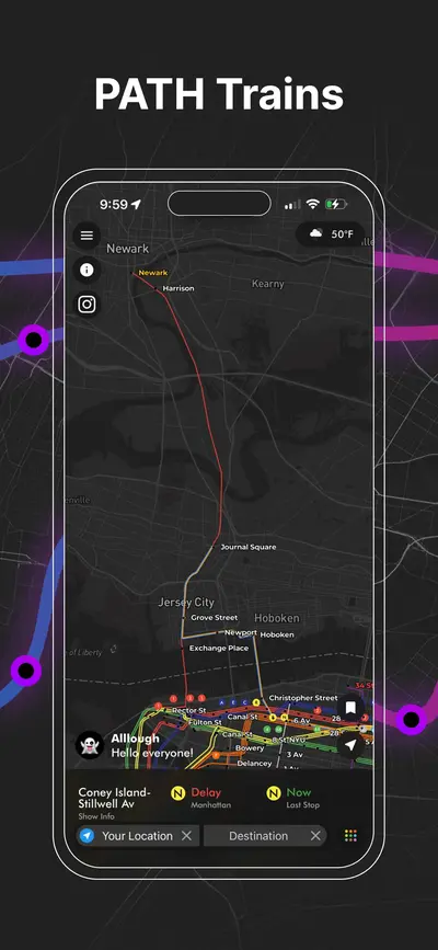
PATH train map connecting New York City and New Jersey with live route visualization
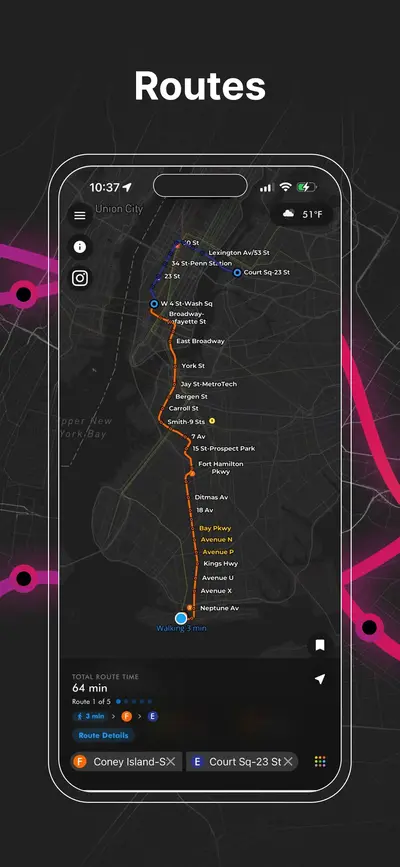
NYC subway route planner showing travel path
AP Transit

Скачать приложение

Метро Нью-Йорка в реальном времени, PATH, JFK AirTrain, построение маршрутов, выходы станций, подсказки по пересадкам и сервисные оповещения на одной карте.