 English
 Spanish
 Russian
 Ukrainian
 Korean
 Chinese
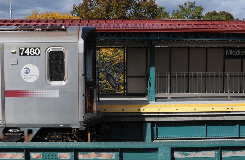
Cross-Bronx Waterway
2015
Middletown Road (6)
New York City Transit
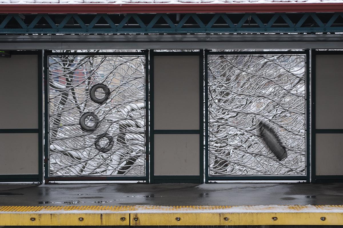
Travelling between Harlem and Pelham, the Pelham line weaves over and under riverbeds of the Harlem River, Bronx River, Westchester Creek, Hutchinson River and Pelham Bay watersheds. The eight large-scale stainless steel artwork panels titled “Cross-Bronx Waterway,” fabricated by Art Metal Industries, are representative of the journey. The gossamer-like ribbon works of steel evoke the rippling flow of the underside of the river’s surface, as might be seen from within the water. Embedded within the flowing and transparent upturned river surfaces are a variety of buoyant vessels and species--fish and egret, blue and horseshoe crabs, tires, bottles, a sailboat, rowboat, and kayaks--that characterize the Bronx’s riparian heritage and transformations. Through Cross-Bronx Waterway, the artists seek to provide a view to the neighborhood below and bring surprise moments and social and cultural interactions to the people of the borough, engaged on journeys of their own.


AP Transit
Download App
Real-time NYC subway, PATH, JFK AirTrain, route planning, station exits, transfer guidance, and service alerts in one map.

